


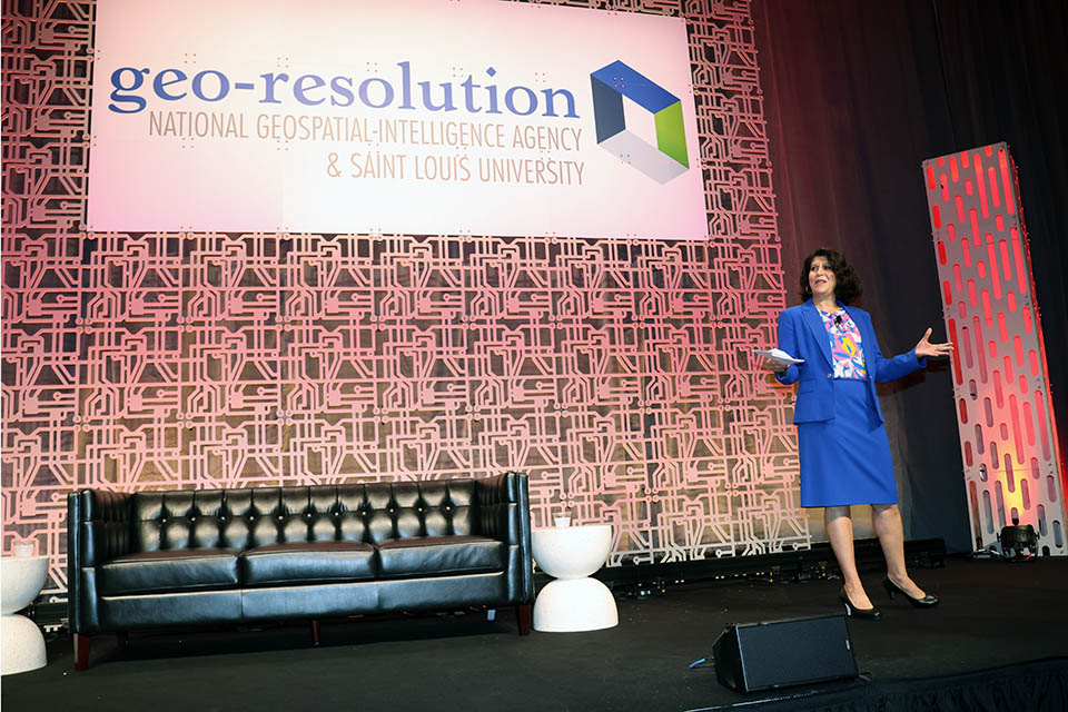
NGA, SLU Team Up to Host Fifth Geo-Resolution Conference
Geospatial leaders, students, and academics gathered virtually and in a packed Busch Student Center on Thursday to take a look at the state of the geospatial industry.
Saint Louis University and the National Geospatial-Intelligence Agency (NGA) once again teamed up to talk geospatial at the fifth-ever Geo-Resolution conference. This year’s topic was “Digital Transformations: Navigating a World of Data from Seabed to Space. The theme focused on the impact of artificial intelligence and new digital technologies on geospatial research and analysis.
Geo-Resolution is an annual conference that encourages collaboration between government, academic, and industry partners to foster geospatial technology innovation and applications, connect geospatial experts and students, and grow the geospatial ecosystem in the greater St. Louis region.
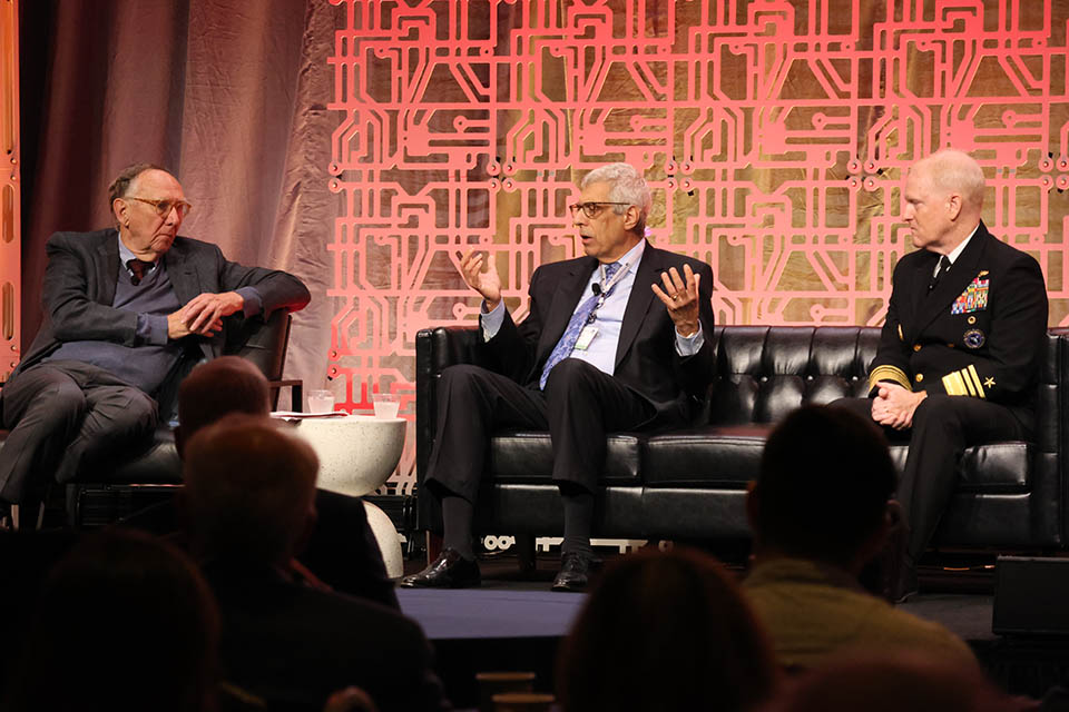
A sold-out crowd filled the Wool Ballroom, and a number of attendees joined virtually to take part in the conference. The day kicked off with an opening panel featuring three leaders with three different connections to the industry.
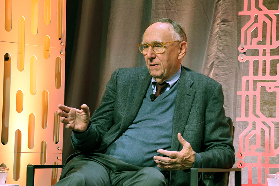
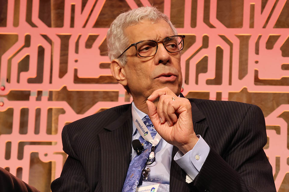
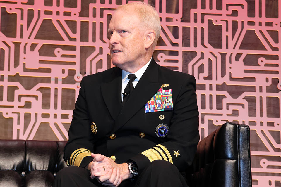
The panelists were Jack Dangermond, founder and president of Esri, a geographic information system (GIS) software, location intelligence, and mapping company; SLU President Fred P. Pestello, Ph.D., who has taken the lead on geospatial education; and Vice Admiral Frank Whitworth, the eighth Director of the National Geospatial-Intelligence Agency. In a conversation led by Nadine Alameh, Ph.D., the inaugural executive director of the Taylor Geospatial Institute, the three talked about the past, present, and future of geospatial.
Whitworth opened the panel by talking about all the things that the NGA does. Among the intelligence work, he also highlighted the humanitarian work being done by the NGA, including assisting in search and rescue efforts after disasters.
Initially a novice to the field, Pestello said his time in St. Louis and at Saint Louis University has put a spotlight on the significance of geospatial science.
“I am the one up here who is not steeped in geospatial science, but it very quickly became apparent to me when I arrived here in St. Louis in 2014 just how important geospatial science is — to this region, the world, this University, and our consortium of universities that came together to form the Taylor Geospatial Institute.”
Pestello said so many of the problems of today, and the future, can be addressed through geospatial work. He alluded to issues like climate change, food and water shortages, and more where geospatial work can offer solutions.
“If we can’t get clean water and food to people, there’s nothing else that is going to matter,” he said.
Dangermond echoed Pestello. He talked about the importance of geospatial work, pointing out a COVID-19 map that was viewed trillions of times that had a major impact on perceptions of the pandemic.
“It changed people’s views of what was happening with this disease,” he said. “People saw the disease differently as a result. This, in my opinion, is just the beginning.”
Whitworth said he hopes the new artificial intelligence and machine learning technology will help solve problems. He said right now, at NGA, teams are training AI and machine learning to become better and more useful.
“If you’re having to make these important decisions, I think you’d like the fact the machine has been trained by the very best,” he said. “... We’re using the best to train these machines to ensure that we’re always correct.”
Dangermond also encouraged the students in attendance to get involved with geospatial. He said he was a University student when he began down the path that changed his life.
“I was in a class up in Boston, and it was like all of the sudden, the lights went on,” he said. “That was 56 years ago.”
The panelists all said they were hopeful about the future of the geospatial industry. Pestello, who called himself an optimist, said he believes science can improve lives. He pointed out that he used to travel with a stack of maps and now just needs a GPS device.
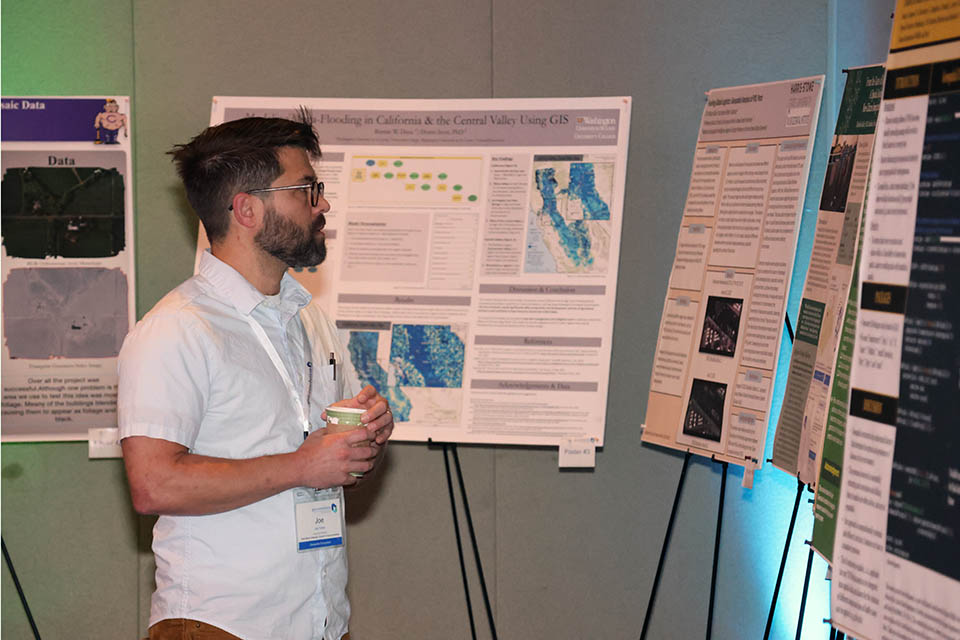
Following the opening panel, the rest of the conference began with breakout sessions on various topics. There also were more than 20 posters on display for review in the ballroom.
Geo-Resolution is designed to provide participants — particularly students — access to geospatial experts from government, academia, innovation hubs, start-up companies and nonprofit organizations. Students had the opportunity to meet local leaders from industry, academia and government to explore geospatial career opportunities.